Geography
According to the United States Census Bureau, the borough-county has a total area of 102.5 sq mi (265.5 km²). Land comprises 58.5 sq mi (151.5 km²) and water 44.0 sq mi (114.0 km²) of it (42.95%).
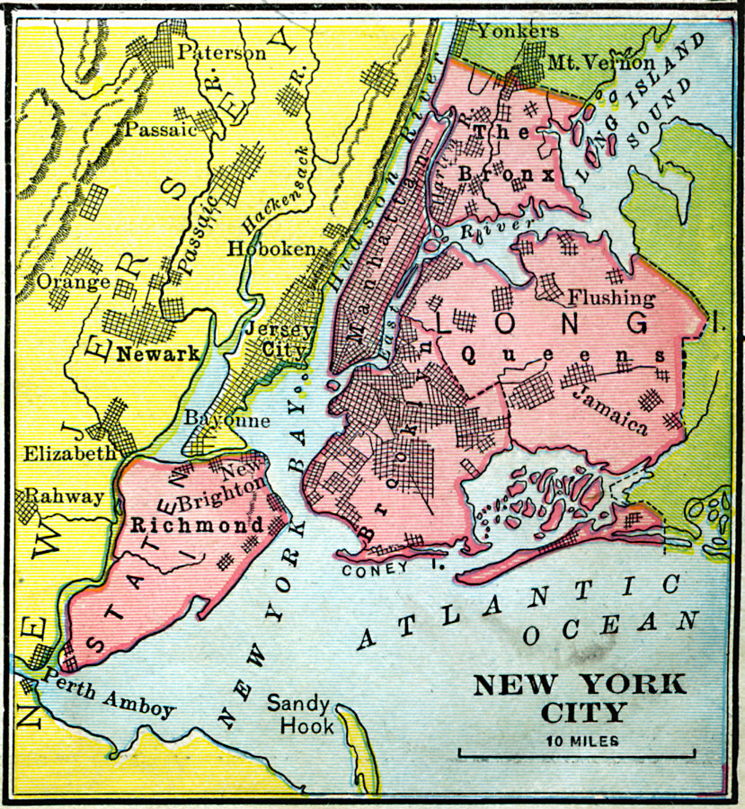
Staten Island is separated from Long Island by the Narrows and from mainland New Jersey by the Arthur Kill and the Kill Van Kull.
In addition to the main island, the borough and county also include several small uninhabited islands:
The Isle of Meadows (at the mouth of Fresh Kills)
Prall's Island (in the Arthur Kill)
Shooters Island (in Newark Bay; part of it belongs to New Jersey)
Swinburne Island (in Lower New York Bay)
Hoffman Island (in Lower New York Bay)
The highest point on the island, the summit of Todt Hill, elevation 410 ft (125 m), is also the highest point in the five boroughs, as well as the highest point on the Atlantic Coastal Plain south of Great Blue Hill in Massachusetts and the highest point on the coast proper south of Maine's Camden Hills.
Staten Island is the only borough in New York City that does not share a land border with another borough (Marble Hill in Manhattan is contiguous with the Bronx).